Seait
THE CHALLENGE
The harbor faced significant inefficiencies due to an outdated system that was not tailored for the irregular placement of boats within an asymmetric layout. This caused substantial delays for the harbor manager and truck drivers, particularly during the critical periods of storing boats for winter and launching them in spring. The existing process was manual and time-consuming, involving physically verifying boat locations, which often resulted in logistical complications and planning difficulties every season. The uncertainty about which boats were blocking others further compounded the challenge, making it arduous to strategize boat movements efficiently.
THE SOLUTION
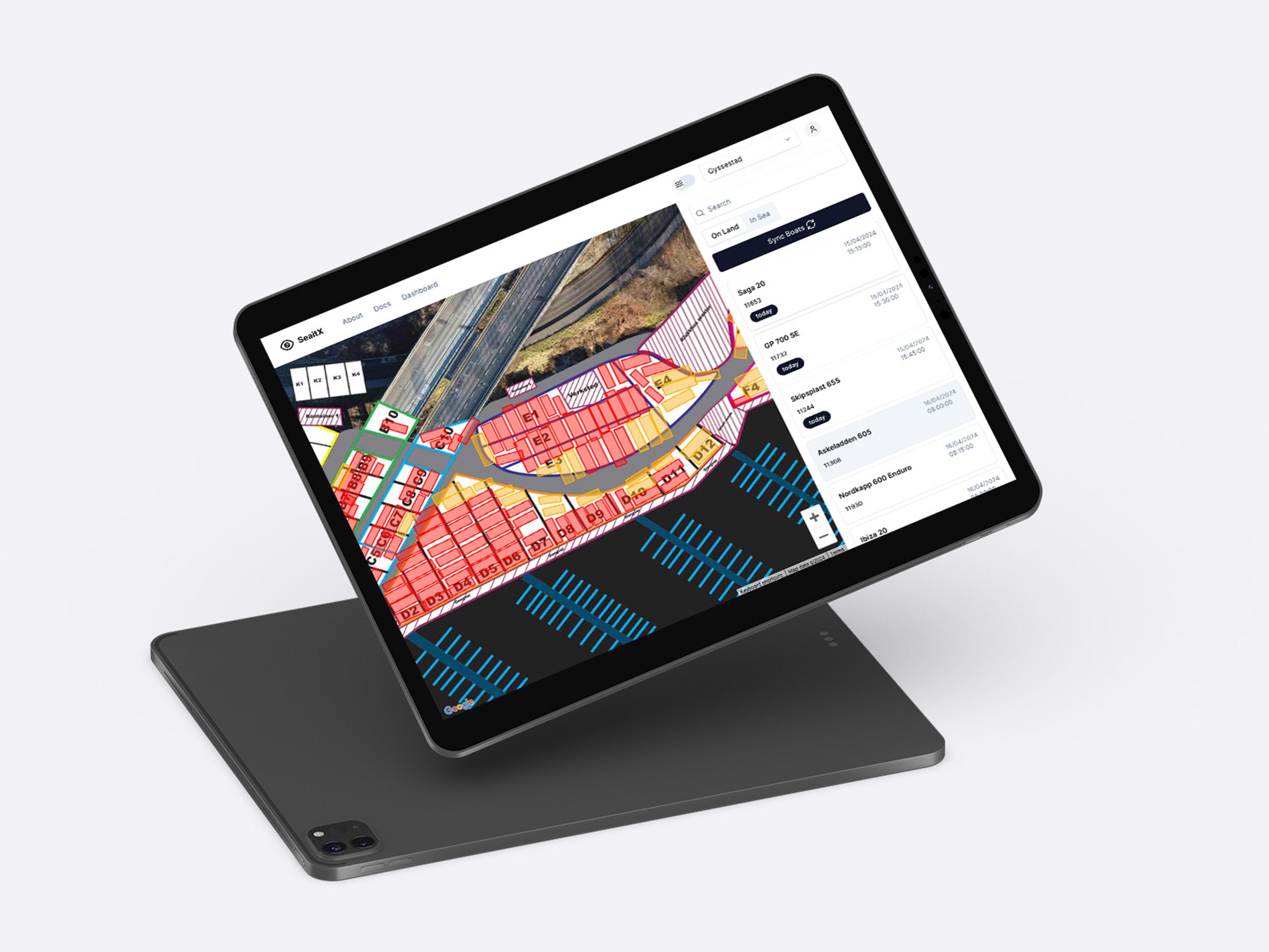
To address these challenges, we developed a coordinate-based system complemented by an interactive map. This solution was crafted through close collaboration with the end users, including truck drivers and the harbor manager, to ensure the interface was not only intuitive but fully responsive to their needs. By integrating their firsthand experiences and feedback, we tailored the system to streamline operations and significantly enhance usability.
RESULTS
The new system revolutionized how the harbor operates, notably reducing the time the manager spends locating boats. With immediate access to each boat's location, planning for the season became a straightforward task. This efficiency gain not only pleased the harbor staff but also significantly benefited the boat owners, offering them greater flexibility regarding the timing for docking and launching their vessels. Encouraged by this success, we expanded our vision to create a generalized version of the system, now aimed at enhancing operational efficiencies at other harbors facing similar challenges.